


Table of Contents

Latitudo40 has been listed in Terra50, a new global, pioneering initiative spotlighting the 50 most impactful solutions addressing today’s most pressing climate challenges in cities. This article was written by Ana Villagordo Vegara, Project Manager and Explorer at Terra50. Click here for more details on Latitudo40.
Where does heat concentrate most in a city? Which neighbourhoods have the least vegetation? Where are impermeable surfaces most concentrated? Which areas may be more exposed to flooding? Cities today have access to vast amounts of data that can help answer these questions. The challenge is turning that data into useful information to decide where and how to act.
Satellites, sensors, geographic information systems and environmental databases make it possible to observe cities at a level of detail that would have been unthinkable just a few years ago. Tomorrow.City has already explored, for example, how detailed mapping of heatwave vulnerability can help identify the areas where action is most urgently needed, as well as how GIS (Geographic Information Systems) can analyse multiple data sources, from satellite imagery and the Copernicus programme to urban sensor networks, to guide interventions such as tree planting or the introduction of permeable surfaces.
But having access to large amounts of data does not necessarily mean knowing what to do with it. This is precisely the space in which Latitudo40 operates. The Italian company specialises in Earth observation for urban applications, combining satellite data, artificial intelligence and geospatial analysis to transform complex environmental information into tools that can be used by public authorities, urban planners and infrastructure managers.
From satellite to decision-making
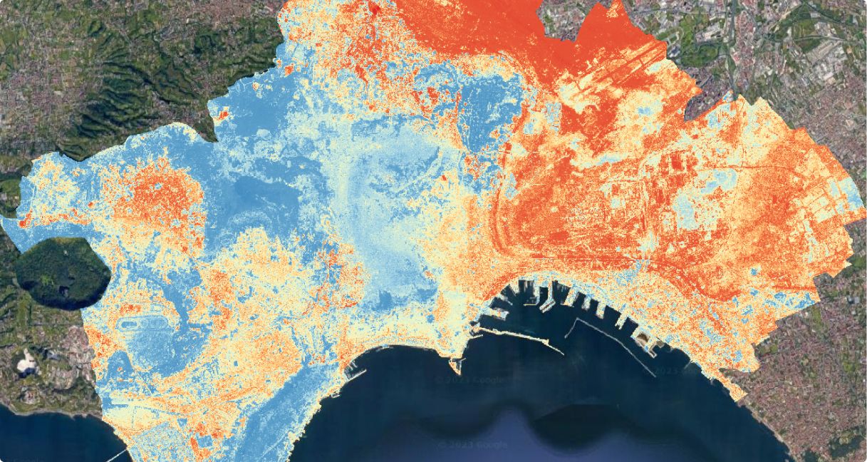
Latitudo40’s approach is not simply about providing satellite imagery. Its platform processes data from the European Copernicus programme’s Sentinel missions and other Earth observation sources to generate urban indicators on land surface temperature, heat islands, vegetation, impermeable surfaces, flood risk, air quality and land-use change, among other variables.
This information is transformed into maps, indicators, graphs and reports that help interpret what is happening across a territory and integrate climate and environmental variables into urban planning.
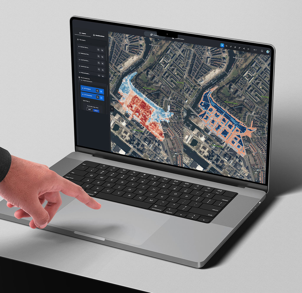
The EarthDataInsights platform extends this capability by integrating different layers of information within a single environment. Some land surface temperature data reach a spatial resolution of 10 metres, making it possible to move from a general reading of the city to identifying much more specific differences between neighbourhoods and urban spaces.
The key difference, therefore, is not so much seeing the city from space as turning those observations into information that can be acted upon.
Knowing where it is hot is not enough
Heat adaptation is a good example. Identifying which areas of a city experience the highest temperatures is only a first layer of information. To understand where intervention should be prioritised, cities also need to know who is exposed, what the urban morphology is like, how much vegetation is present and which characteristics make a particular area more vulnerable.
Latitudo40 has developed a Heat Potential Risk indicator that combines temperature as a hazard, demographic characteristics as a measure of exposure and urban morphology as an indicator of vulnerability, generating a risk index from 0 to 100.
This allows us to move from asking “where is it hottest?” to a much more useful question for urban planning: “where is action most urgently needed?”
From there, public authorities can prioritise interventions such as planting trees, creating green corridors, increasing permeable surfaces, introducing shade or using more reflective materials.
And it is possible to go one step further. Latitudo40’s tools can work with scenarios to analyse the potential effects of specific interventions on temperature, flooding or the urban microclimate before they are implemented.
Observe, intervene and observe again
One of the most interesting possibilities offered by Earth observation is that it does not simply provide a one-off diagnosis. Satellites observe the territory repeatedly, which means they can also help us understand how a city is evolving and whether implemented interventions are producing the expected results.
Latitudo40 participates, for example, in BeatTheHeat, a European project that integrates different data sources to improve the information available on land surface temperature and urban heat islands. The company contributes its geospatial processing and artificial intelligence capabilities to transform this data into tools that can be applied to urban planning and adaptation.
In another project developed with Doing Good, Latitudo40 analysed land surface temperature, land use and vegetation behaviour in Gothenburg, Sweden, and Chott el-Djerid, Tunisia. According to data provided by the company, the use of satellite monitoring made it possible to reduce monitoring costs by 85% compared with commercial high-resolution imagery, while enabling recurrent monitoring at scale.
This cycle of diagnosing, acting and measuring again can be particularly useful in a context where cities increasingly need to assess whether their adaptation policies are actually working.
A city seen as a set of layers
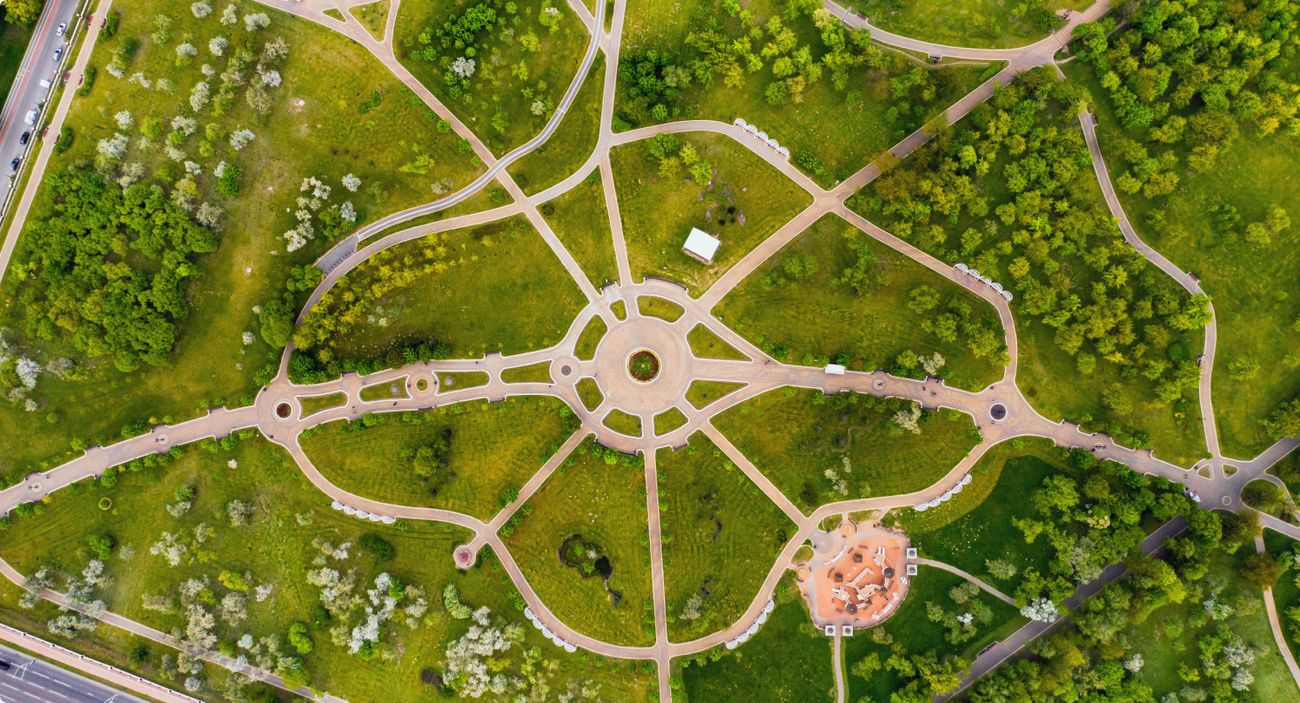
Heat is only one application. The same observation infrastructure can be used to analyse vegetation, soil impermeability, flood risk, environmental quality, urban growth or changes in land use. Its value increases when these variables are no longer considered separately. One layer can show where heat accumulates. Another, where trees are lacking. A third, which populations are exposed. Another can identify impermeable surfaces or areas at greater risk of flooding. Overlaying these layers makes it possible to better understand the relationships between climate, urban form, vegetation, infrastructure and population and, above all, to prioritise interventions.
This is where Latitudo40 goes beyond a specific tool for mapping heat. The same platform can work with different environmental risks and indicators, generate KPIs and reports, and integrate the results into other management systems.
Seeing better does not mean deciding better
There is, however, an important point to consider. Having more and better data does not automatically lead to better urban policies.
A map can show exactly where vegetation is lacking, where heat accumulates or which neighbourhoods are more vulnerable. But deciding whether to remove parking spaces to plant trees, transform a street, invest in urban drainage or prioritise a particular piece of infrastructure remains a political and collective decision.
Technology does not replace that decision. What it can do is reduce some of the uncertainty involved in making it. And this is probably the main value of a platform such as Latitudo40: not promising that data will make decisions for us, but helping us better understand what we are deciding about, compare alternatives and then observe whether the decisions taken have had the expected effect.
What can cities learn from Latitudo40?
Latitudo40 operates in more than 20 countries and has participated in more than 50 climate adaptation and urban resilience projects, according to information provided by the company. But the most interesting aspect of the case is not necessarily the amount of data it can process.
Tomorrow.City has already shown how vulnerability maps, thermal imagery, Copernicus data and sensors can help cities better understand the effects of heat. The step proposed by Latitudo40 is to transform these and other sources of information into a continuous decision-support system capable of helping cities diagnose, prioritise, simulate and monitor.
Technology does not plant trees, transform streets or directly protect a city from flooding. But it can help decide where to plant those trees, which streets to transform, which areas to prioritise and, afterwards, determine whether those decisions are working.
Perhaps this is where looking at a city from space ultimately makes the most sense: not to distance ourselves from the problems taking place at street level, but to better understand where and how to act.
»Click here for more details on Latitudo40.
»The images in this article were provided by Latitudo40.