



Table of Contents
Author | Lucía Burbano
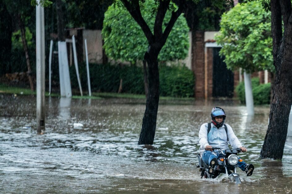
Climate change is increasing the frequency and intensity of extreme weather events such as heatwaves, floods, droughts, and storms. In this context, cities need tools that not only help them respond to emergencies but also enable them to anticipate them.
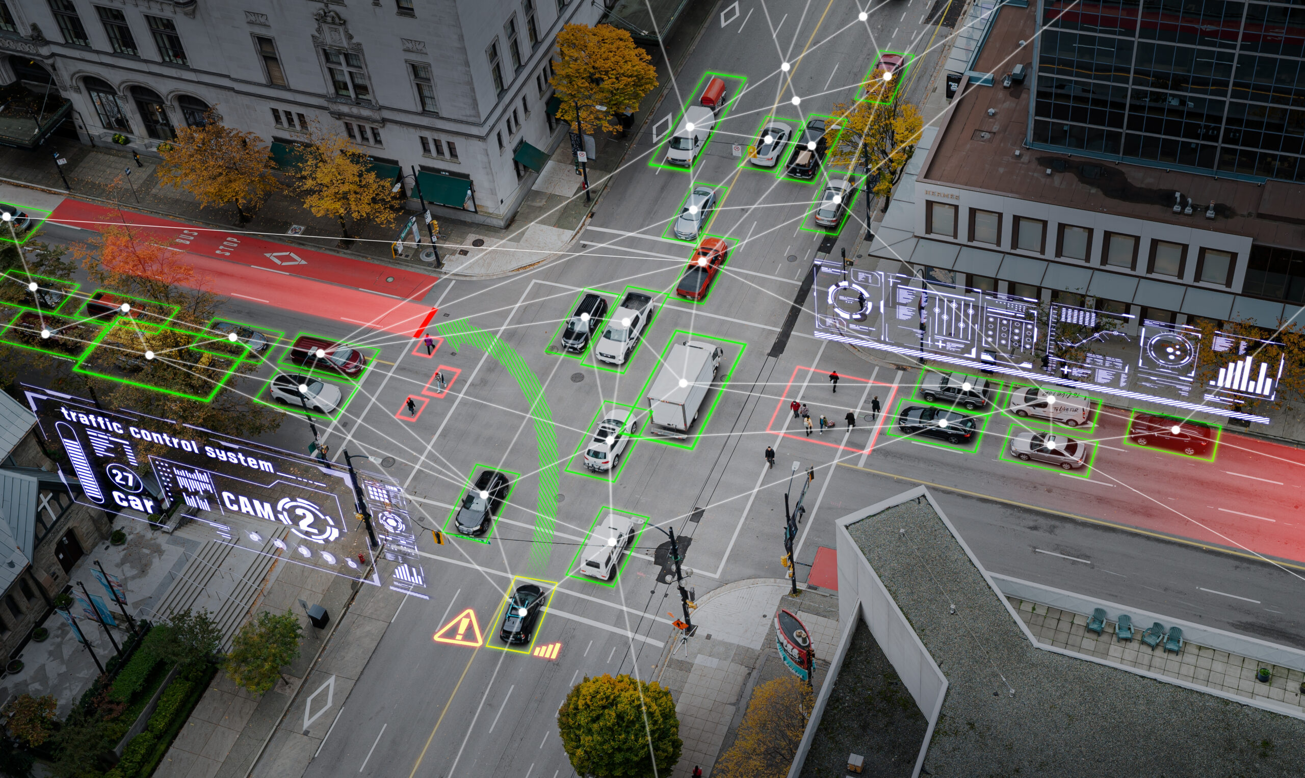
Digital twins have become one of the most promising technologies for achieving this. They create a virtual replica of a city that is continuously updated with data from IoT sensors, satellites, drones, LiDAR, weather stations, and Geographic Information Systems (GIS).
How can digital twins help cities become more resilient to climate change?

Digital twins are a strategic tool for improving urban resilience to climate change because they create a dynamic virtual representation of a city that can simulate how it and its surrounding areas would respond to different environmental threats.
Unlike traditional urban models, a digital twin combines real-time data from multiple sources to provide an up-to-date view of how the city is functioning.
One of its main applications is identifying areas that are vulnerable to floods, heatwaves, wildfires, or droughts. For example, models powered by LiDAR data can accurately map urban topography, identify locations where water is likely to accumulate, and support the design of more effective drainage systems.
Digital twins also allow cities to evaluate different adaptation strategies before putting them into practice. They can simulate the impact of expanding green spaces, installing green roofs, or changing the materials used in urban infrastructure.
In addition, digital twins strengthen emergency response during extreme weather events. By integrating real-time data, they can support emergency management through the identification of affected areas, optimizing evacuation routes, and improving coordination between public services.
In this regard, digital twins represent the next step toward data-driven climate resilience, where urban planning decisions no longer rely solely on historical models but are guided by continuous predictions and simulations.
How do digital twins support sustainable urban planning?
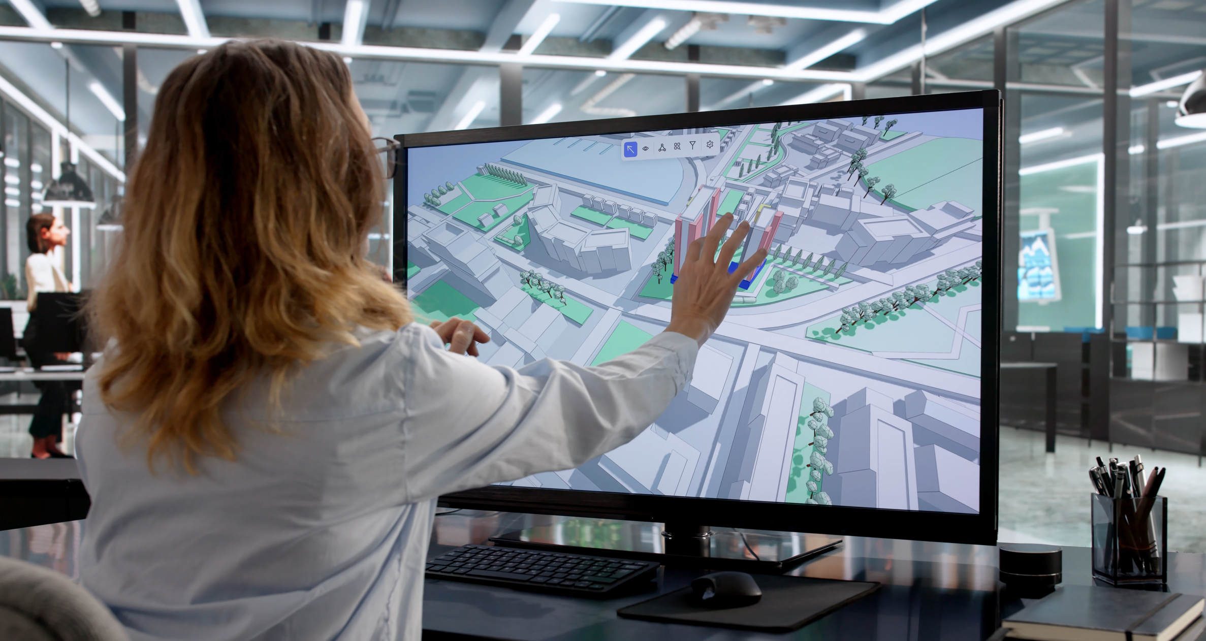
Digital twins support sustainable urban planning by allowing planners to evaluate the impact of development decisions before construction begins or changes are made to the physical city. They serve as simulation environments where different design options can be tested and those that deliver the best environmental, social, and economic outcomes can be selected.
In addition, technologies such as LiDAR enable the creation of highly accurate three-dimensional models of buildings, trees, and infrastructure. When combined with artificial intelligence, these datasets can automate complex analyses, such as identifying rooftops suitable for solar energy generation or assessing the potential for urban greening initiatives.
As a result, digital twins promote evidence based urban planning, reduce design errors, and help create cities that are more efficient, livable, and sustainable.
Cities using digital twins to improve climate resilience
Singapore
Singapore is one of the world’s most advanced examples of digital twin technology. While it has several initiatives in this area, one of the most notable is Cooling Singapore – Digital Urban Climate Twin, which analyzes urban temperatures, vegetation, and buildings to develop strategies that improve wind circulation and reduce the urban heat island effect.
Rotterdam
Rotterdam uses digital models and urban data to strengthen its response to rising sea levels, extreme rainfall, and, more broadly, water management.
Helsinki
The Finnish capital has developed highly detailed 3D digital models to assess energy efficiency, support urban planning, and improve climate adaptation using high-precision geospatial data.
New York
New York uses digital models and geospatial analysis to assess climate-related risks, particularly those associated with coastal flooding and infrastructure vulnerability.
Destination Earth: European Union
This European initiative aims to create a digital twin of the planet capable of simulating climate processes, extreme weather events, and adaptation strategies. Its data and services will be made available to governments, researchers, and local authorities across Europe.
The project includes advanced digital models for extreme weather forecasting, climate adaptation, and environmental simulation, with the goal of creating a highly accurate digital twin of the Earth.
Questions and answers about climate resilience 2.0 and digital twins
What is a digital twin?
A digital twin is a virtual replica of a city that integrates real-time data to analyze, simulate, and improve how it functions.
How do digital twins help address climate change?
They enable cities to anticipate risks such as floods and heatwaves and develop more effective climate adaptation strategies.
What technologies power digital twins?
They integrate data from IoT sensors, satellites, drones, LiDAR, GIS, and climate models to create highly accurate simulations.
How do they support sustainable urban planning?
They allow planners to test urban designs before construction, optimizing energy use, mobility, green spaces, and infrastructure.
Which cities are using digital twins to improve climate resilience?
Cities such as Singapore, Rotterdam, Helsinki, and New York City use digital models to manage climate risks and support more sustainable urban planning.
Photography | Unsplash/Alward Castillo, Unsplash/Krzysztof Kotkowicz, AndreyPopov/iStock