An online platform to answer key questions about renewable energy.
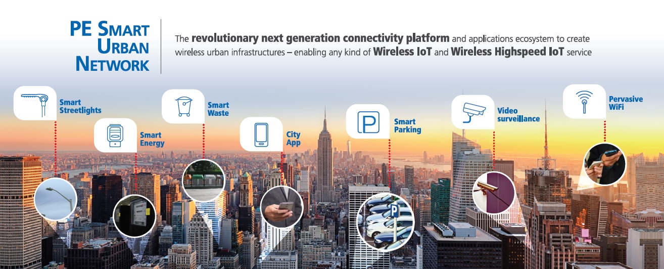
Cities have large amounts of high resolution data at their disposal, and with the online platform developed by LIST, cities can answer questions such as: What are the renewable opportunities throughout our city? How can renewable energy usage be maximized across the city? Where can solar panels be placed, which rooftops and facades are suitable? How can buildings be renovated to make them more energy-efficient? How much CO2 emissions can be reduced?… The Smart City and Region platform, covering multiple cities to date, can answer these questions, taking advantage of interoperability standards for data access, satellite images, 2D (and soon 3D) maps, advanced geospatial high-resolution analysis, prediction/analysis/visualization tools, weather-related information, combining all relevant elements to explore cities as a next generation of distributed renewable power production plants. How it helps? It supports renewable energy production strategies and energy transitions. It runs renewable energy production simulations and scenarios. It monitors renewable energy production and efficiency. It explores energy savings.
The SECuRe platform is based on a geospatial interoperability software framework (iGuess®) and integrates geospatial data, spatio-temporal simulation & prediction tools as well as analysis and visualization tools relying on novel approaches in distributed and high performance computing as well as advanced 3D web technologies for interaction and dashboarding. The platform provides smart and evidence-based decision support tools to accelerate the penetration of solar PV production at a national scale at high resolution; increase energy efficiency measures for buildings, and to stimulate the creation of new or improved businesses opportunities around renewable energy technologies and energy services by providing integrated high resolution information within an easy to use web based platform. With the SECuRe platform LIST can contribute the Geographical Digital Twin for Luxembourg where geospatial data from different sources (climate, weather, cadastre, sensors, infrastructure, land use/cover etc.) are easily integrated and spatio-temporal simulation, production and optimisation tools operating from neighourhood to city and national scale are operating and additional tools can be integrated due to its interoperability.
LIST Luxembourg – A closer look at the daily work of an RTO
GET IN TOUCH
Company Link: www.list.lu
E-mail: ulrich.leopold@list.lu
Contact Phone: +352 275 888 5048
Product Link: smartcity-energy.list.lu


