



Table of Contents
Author | Raquel C. Pico
They are a nightmare for local governments and a constant source of frustration for drivers and cyclists alike. Potholes make roads more difficult to navigate and can even lead to accidents. Repairing them quickly and efficiently is essential, but authorities are not always notified as soon as they appear. In some places, residents have gone viral for planting trees or flowers in potholes to attract the attention of local officials, but there are far more effective ways to report road damage and trigger repairs. That is where pothole detection apps and smart infrastructure come into play.
There are many apps designed to improve road safety. Most pothole detection apps rely on crowdsourcing, allowing users to alert others to hazards on the road. Some cities have already incorporated these apps into their road maintenance systems. Johannesburg, South Africa, is one such example. Several years ago, the city partnered with two insurance companies to launch the Pothole Patrol App, which allows users to report potholes and even upload photos. The app’s mapping technology then forwards the information to the appropriate authorities.
Today, however, the goal is to go a step further. Advances in artificial intelligence and other smart infrastructure technologies are enabling existing navigation apps and digital services to detect potholes automatically, helping improve road safety.
Technology vs. potholes
The digitalization of this infrastructure addresses a very specific need. The goal is not simply to create another pothole detection app, but to provide a more practical solution. Cities rely on reports from the public to locate potholes and begin the repair process, an approach that is both slow and inefficient because it focuses on individual incidents. It is a reactive rather than proactive system. What cities need is real-time monitoring of road conditions.
Robotaxis detect potholes
That is exactly what several pilot projects are now aiming to achieve. The ultimate goal is to use smart infrastructure and digital technologies to identify road defects and address them more efficiently. While these systems are not pothole detection apps in the traditional sense, they perform the same function.
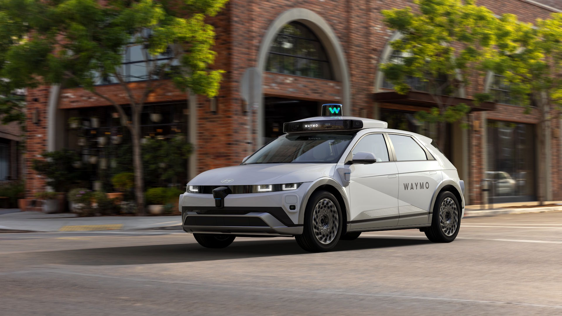
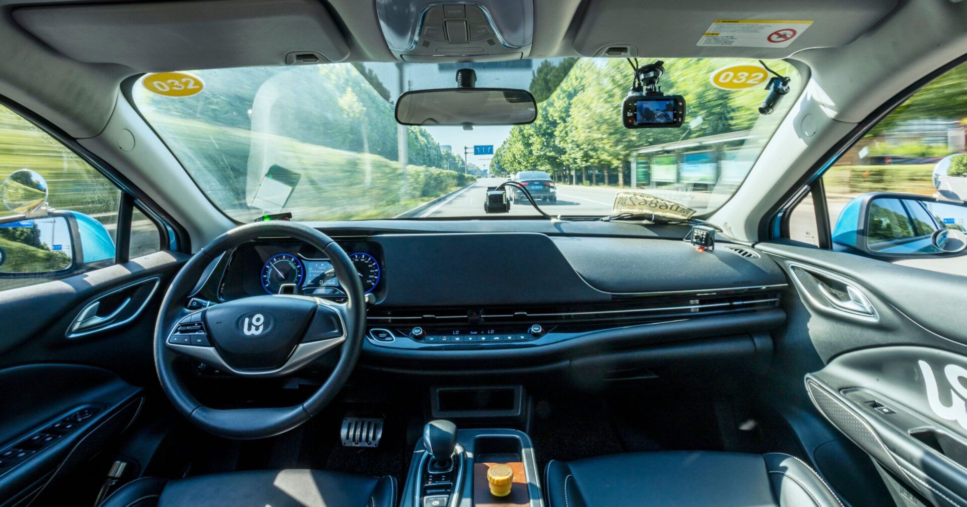
Robotaxi company Waymo and navigation app Waze have launched a project that effectively turns Waze into a live pothole map by using data collected by Waymo’s autonomous vehicles. Initially, the system will be tested in five major metropolitan areas in the United States: Los Angeles, San Francisco, Phoenix, and Austin. However, the companies have indicated that it could eventually be expanded to every city where their services operate.
As the robotaxis travel through city streets, they automatically detect and identify potholes. That information is then shared with local authorities, allowing them to conduct predictive road maintenance. The data will also appear on Waze’s public map, where users will receive pothole alerts and be able to confirm or dispute the reported hazards.
How do these pothole detection apps work?
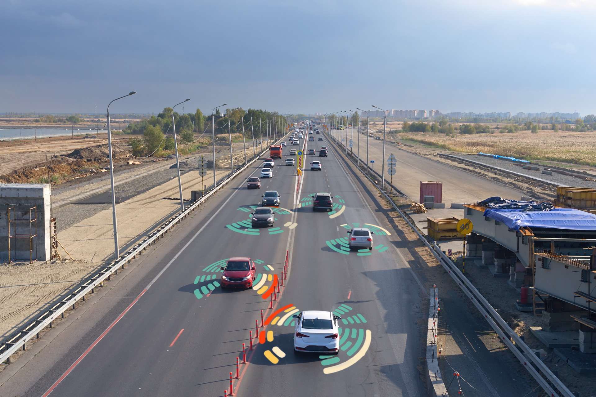
These systems rely on technology that autonomous vehicles already have on board. Their cameras and sensors continuously collect the data needed for driverless navigation. They now collect data specifically related to potholes.
Other technology companies are taking a similar approach with solutions designed specifically for predictive road maintenance and intelligent road safety. One example is CityRover, which uses artificial intelligence to support smart city initiatives. Its pothole mapping technology consists of a detection device that can be installed on any vehicle traveling through the city. In Oregon, USA, the device was mounted on the windshield of a street sweeper, allowing it to continue its regular routes while simultaneously collecting data. According to the company, the system detected more potholes and helped speed up repairs.
Privacy implications and other challenges

Integrating artificial intelligence reflects the broader trend of incorporating AI into more and more aspects of urban management, using it to map problems more efficiently. In the case of pothole detection, it requires the development of specialized algorithms capable of distinguishing potholes from other objects or road features. This, in turn, requires the collection of large volumes of data.
That is one of the key challenges associated with this approach. Whenever AI is introduced, it is important to consider how data is collected and managed, how much information is required, the environmental cost of processing that data, and the privacy risks and challenges involved.
At the same time, some observers have highlighted other potential implications of these initiatives. As TechCruch, points out, the Waymo and Waze pilot project is also linked to robotaxi companies’ efforts to build trust with the cities where they hope to operate, as well as with the general public.
Frequently Asked Questions
How accurate are AI-based pothole detection tools?
They are not perfect because artificial intelligence is not perfect either. In the case of CityRover, the system has already produced false positives, mistakenly identifying reflections from rainwater or patches of weeds as potholes.
Can this technology be used for other purposes?
Yes. Similar technologies are already being used to detect bus lane violations and illegal dumping. They also have applications in intelligent transportation systems.
Can any smartphone detect potholes?
Not automatically. However, you can use a reporting app or a navigation app that allows users to manually report potholes and receive alerts.
Will Google Maps alert me to potholes?
Although Google Maps has filed a patent related to this technology, it does not currently provide that information to users.
How do I report a pothole to my local government?
Until AI can do it for us, potholes should be reported through official channels. Most local governments provide a dedicated phone number or email address for reporting road maintenance issues.
Photos | Jens Aber, Luis Villasmil, Marc-Olivier Jodoin