


Table of Contents
Author | Elvira Esparza
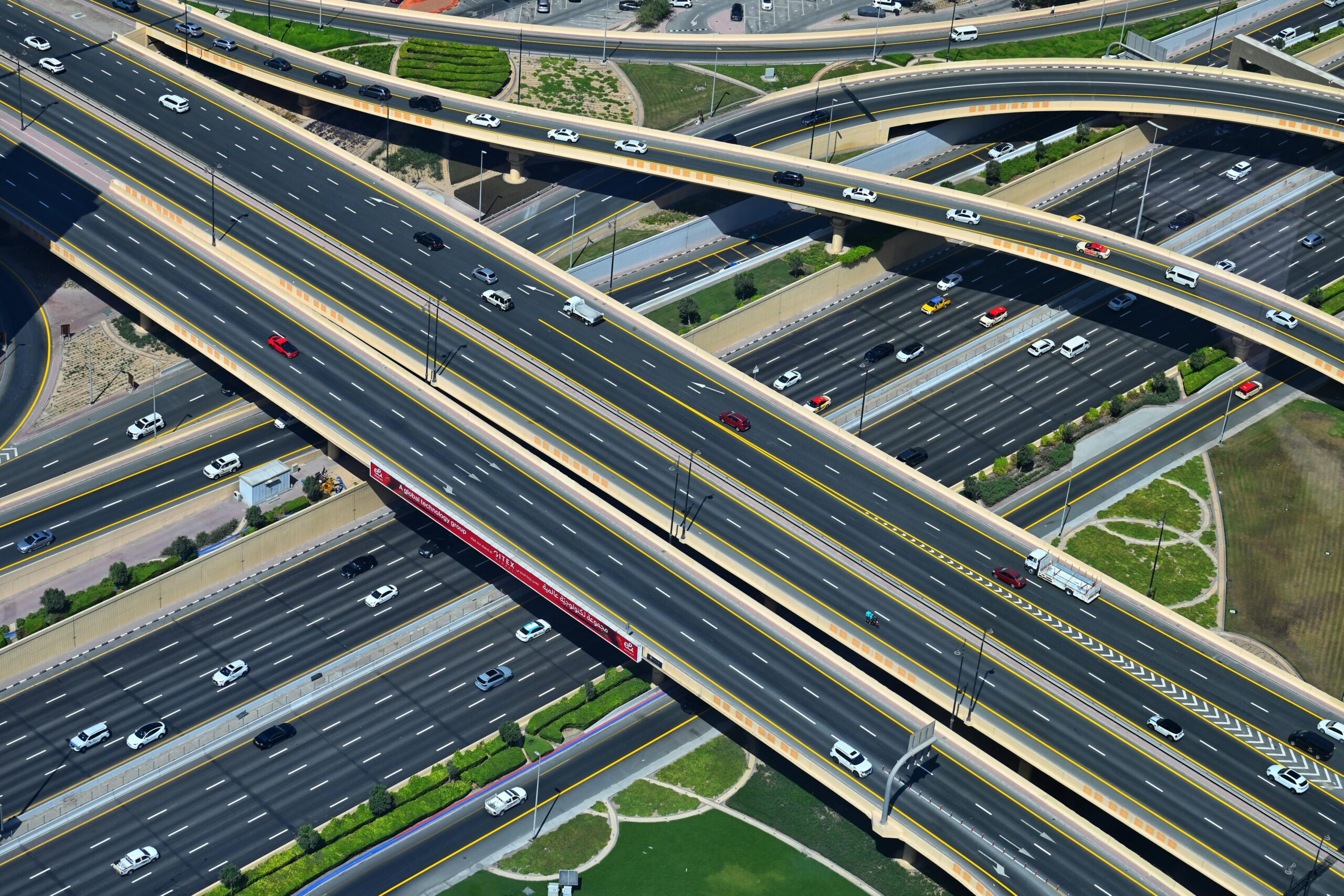
Road analysis and management have evolved thanks to technology. In the past, action was taken only after an incident occurred, but the focus has now shifted to preventing problems. Road management has moved from a reactive approach to a preventive one. How has this been achieved? Through the use of platforms and applications that rely on road sensors, vehicle data, and AI to interpret the information.
What is analyzed on roads to improve management?
To improve road management, different aspects are analyzed, taking into account road activity and the various types of vehicles in circulation:
- Traffic management. Sensors that measure vehicle volume, speed, and congestion points are used to regulate traffic flow at intersections in real time through smart traffic lights.
- License plate recognition systems enable monitoring and control of vehicle access to restricted areas within cities.
- Road maintenance. There are platforms that automatically detect potholes and cracks in roads using computer vision.
- Accident prediction. Using historical data, accident hotspots can be identified and addressed proactively.
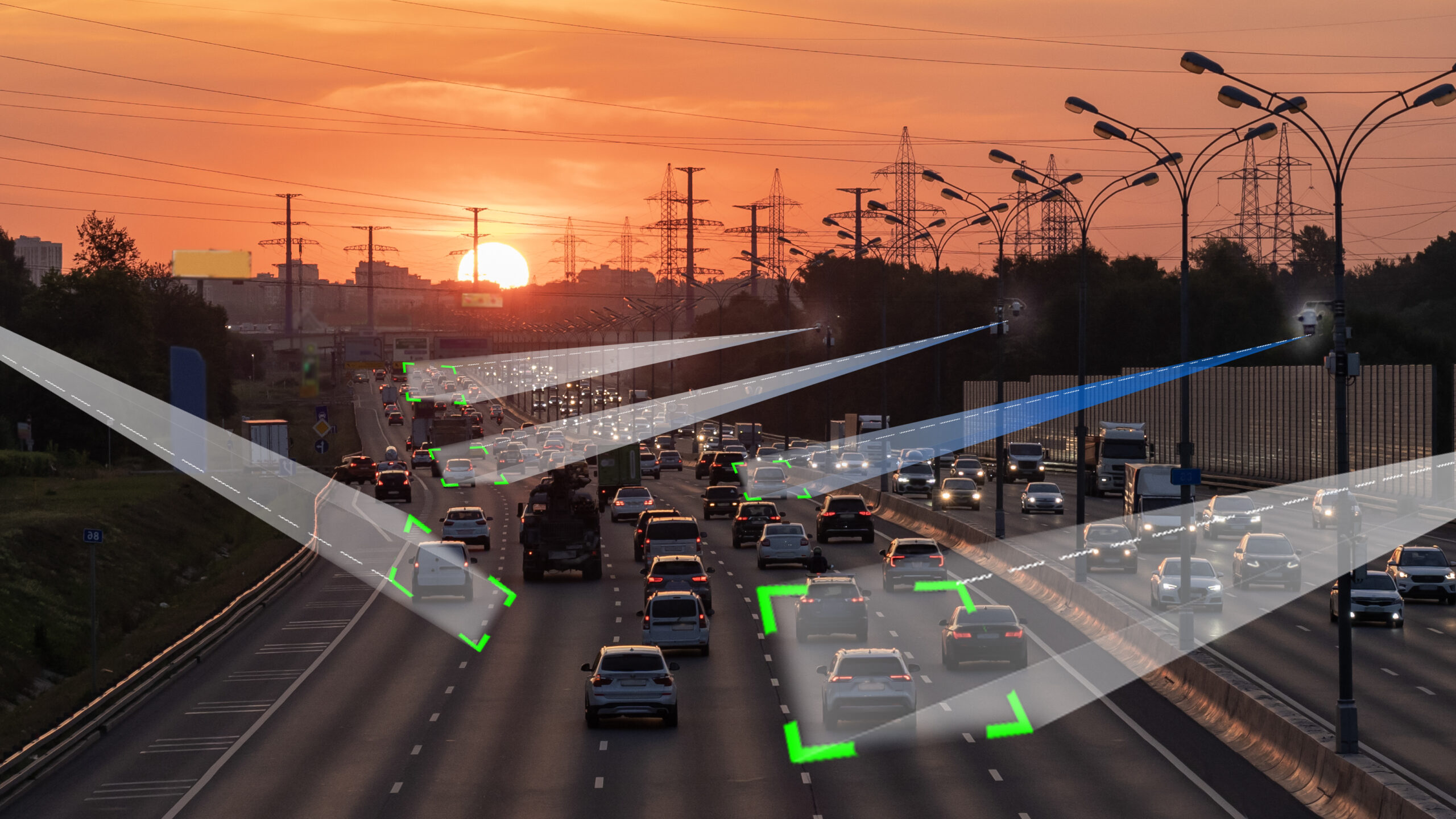
How is AI changing road analysis?
AI has transformed road analysis in three key areas: road safety, operational efficiency, and sustainability.
Thanks to AI, predictive road maintenance has advanced with platforms like Logiroad, which can analyze pavement conditions and address issues before potholes develop.
Through deep learning, data from cameras and sensors is processed to manage traffic more effectively, reducing wait times at intersections and lowering CO2 emissions. And with digital twins, it is possible to simulate scenarios such as lane closures due to roadworks to determine how to manage traffic in real world conditions.
In addition, AI connects with vehicles through 5G networks and connected vehicle systems to send alerts about dynamic speed limit changes, obstacles on the road, or to clear lanes for emergency vehicles.
What platforms and applications are being used in road analysis?
Among the applications being successfully used in different countries are:
Flowity
This application uses anomaly detection algorithms to anticipate congestion and optimize routes and logistics operations. Through machine learning, it detects road defects and provides data for maintenance planning, material estimation, and cost calculation. Flowity was first implemented in Nordic countries and has since expanded across Europe and the United States.
Roadlab
This application focuses on monitoring road conditions. Its main use is calculating the IRI (International Roughness Index), a parameter developed by the World Bank to measure road surface regularity, including roughness and smoothness, as well as real time GPS mapping of every pothole or anomaly detected. It works by mounting a mobile phone on a vehicle windshield. Roadlab is mainly used in Mexico, Chile, Colombia, Argentina, Uganda, Nigeria, Austria, and the United Kingdom.
RMI (Roads Management Insights)
This is a tool from Google Maps Platform designed to analyze mobility data using AI and provide advanced insights for traffic management, road safety, and infrastructure planning. It analyzes travel times, congestion patterns, slow traffic zones, and real time traffic conditions to identify accident prone areas and the causes of congestion. RMI is being deployed through Abertis in Spain and Italy.
What are the benefits of using digital systems in road analysis?
Among the benefits of using digital systems in road analysis are:
- Investment optimization. AI can predict asphalt degradation, enabling up to 30% savings in maintenance costs by addressing small cracks before they develop into potholes.
- Reduced traffic congestion. Smart traffic lights can cut vehicle wait times at intersections by up to 40%.
- Improved safety. AI identifies high risk road locations before accidents occur using images captured by computer vision cameras.
The use of AI in road management and analysis has led to increased road safety while also improving efficiency and sustainability.
Images | Tomás Asurmendi, Rupaljot Rapal, Anton Skripachev/iStock


: Innovative Technologies and Strategies for the Cities of Tomorrow")


 in the HORECA Channel")


