Author | Eduardo Bravo
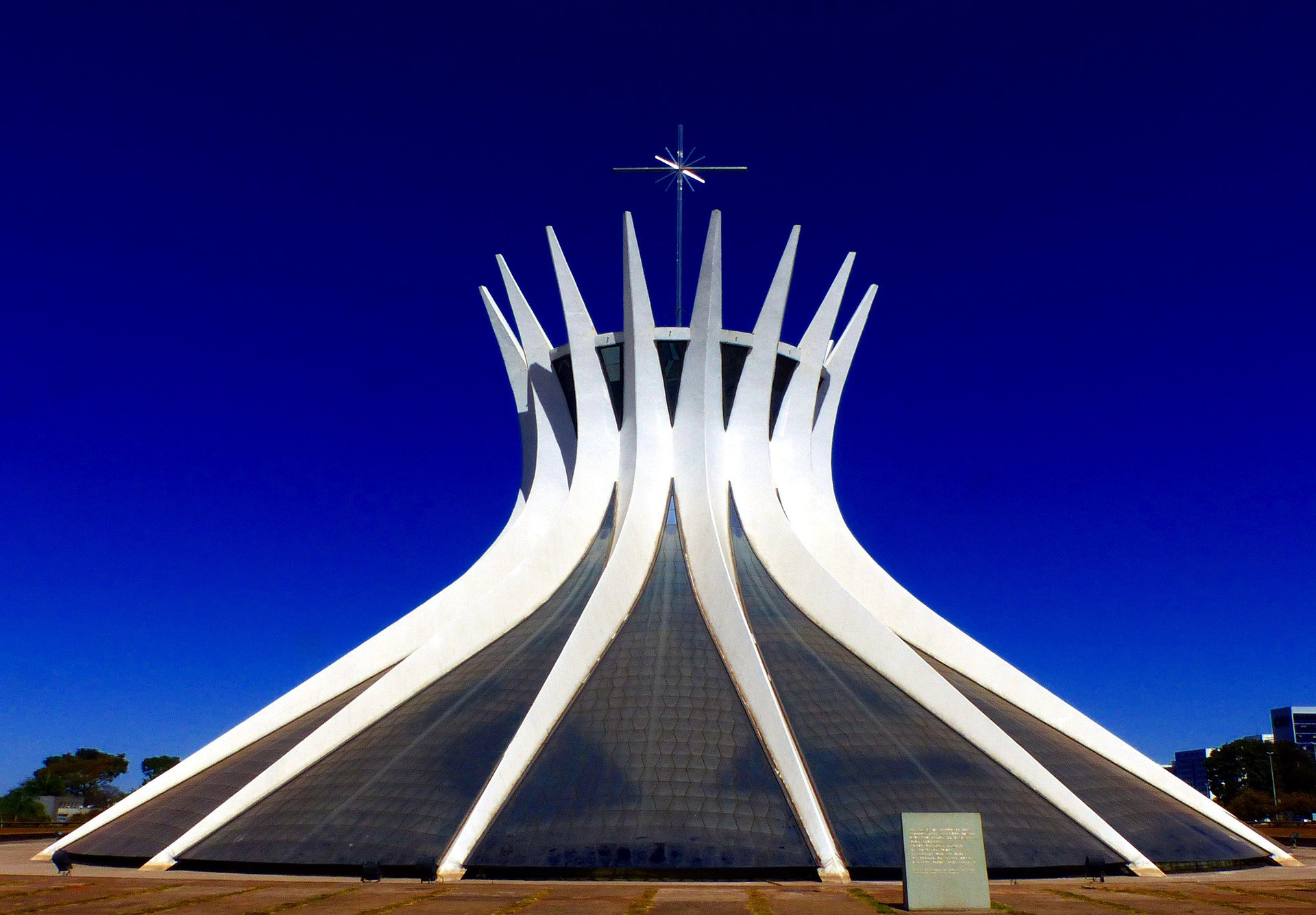
"You may or may not like the city, but you can never say you have ever seen anything like it before." This is how Oscar Niemeyer, the creator together with the urban planner, Lúcio Costa, defined Brasilia.
Located on the region called the Central Planalto in Brazil, on the shores of the Lake Paranoá and between the parallels 15 and 20 -as St John Bosco predicted, when a revelation had told him that the future civilisation would settle there-, Brasilia** is the only city built in the 20^th^ century to be declared a World Heritage Site by the UNESCO.
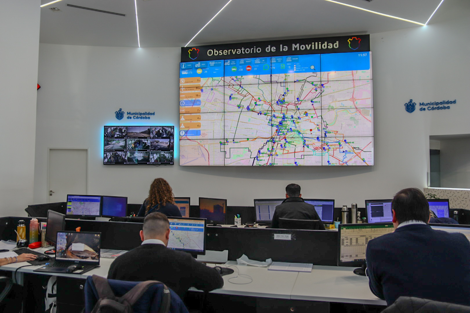
The reasons for this are its unusual architecture and innovative urban planning, designed to facilitate life for its inhabitants. Features that allow it to be classed as one of the first smart cities of the world, despite this term not even existing when it was built.
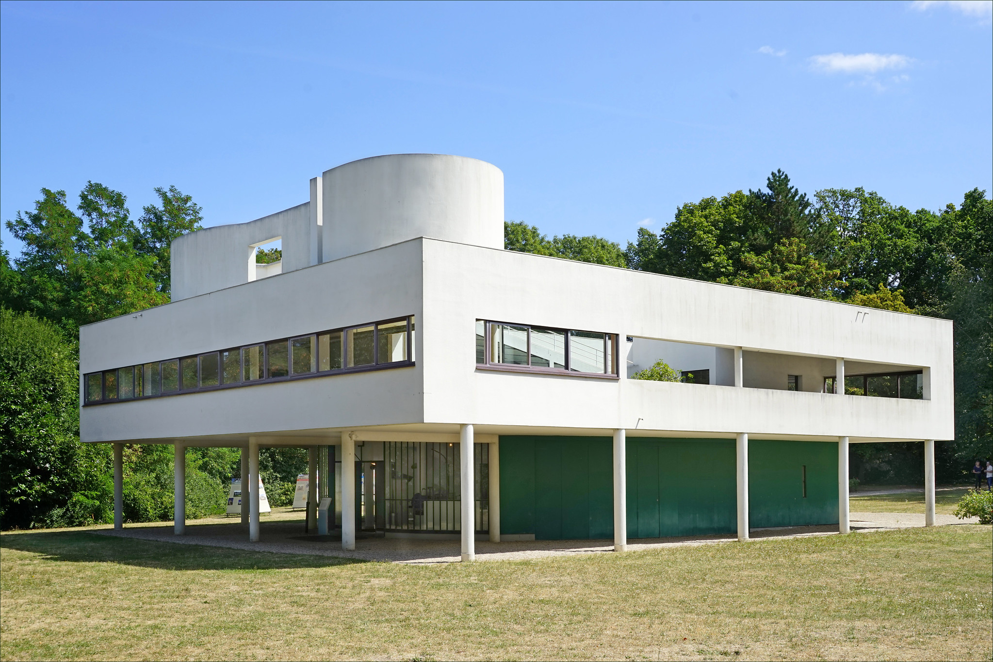
In reality, the urban planning ideas that inspired Brasilia were outlined a few years before it was built. Specifically in 1933, when the Athens Charter was drafted. This document, which emerged from the 4^th^ International Congress of Modern Architecture, included the features that cities should have in order to be more habitable.
Things that seem obvious today, such as building properties taking into account sunlight, topography, green areas and the distance between blocks in order to prevent overcrowding and reducing unhealthy lifestyles.The Athens Charter also defended zoning the urban area, dividing it based on use, so properties would be located away from large urban roads and industrial areas and near to green areas and recreational areas.
HISTORY AND ORIGIN
The idea of moving the capital of Brazil from the Atlantic coast to the inland area dates back to the 18^th^ century, after confirming that neither the first capital, Salvador de Bahía, nor subsequently, Rio de Janeiro, were the right places for this purpose.
Why was Brasilia built?
Despite the strategic and economic importance of these two port cities, for a country covering an area of over eight million square metres, having administrative centres located at one end of the territory was simply not functional. Relocating the capital would therefore involve, decongesting these population nuclei and providing citizens in inland areas with access to State formalities to be carried out during a period in which communications were basic. If this could be planned from scratch, without any geographic limitations such as the sea or the mountains, the solution could not be better.
In 1891, the project for the new capital was included in the drafting of the Constitution of the Republic and, three years later, an expedition to the Planalto Central region, marked out the area on which the city should be built. However, many years would pass before the country was able to take on this ambitious project.
Who designed Brasilia?
Finally, during the 1950s, a call for proposals was opened. The chosen project was that of the urban planner, Lúcio Costa, who developed a previous outline by José Pessoa, proposing a city in the shape of a plane or a bird. Homes, schools, light industry and offices were located on the wings. In the centre, known as the Monumental Axis, were large public buildings, such as the Cathedral, the Parliament, the ministries, the Courthouse and museums, all mainly designed by Oscar Niemeyer. In short, a project that was the urban representation of the country’s slogan: Ordem e progresso (Order and progress).
Apart from these innovations in the design of the city’s layout, Costa also made a series of decisions that would make Brasilia not just a different city, but a unique city. For example, the streets didn’t have names, instead they had coordinates, numbers and initials to provide better orientation. Neither did they have corners, to prevent traffic jams and so pedestrians wouldn’t feel threatened by cars, which circulated along roads away from the buildings.
Geography & Climate
Located in the Brazilian highlands, in turn within the center-western region of the country, Brasilia benefits from a tropical savanna climate. Its temperatures are moderate due to its elevation, with a highest average maximum of 29 °C, benefits from a rainy season from October to April. As a matter of fact, water availability is key to the city’s sustenance, and it was one of the chief reasons behind its placement.
The Paranoa Lake, which was man-made during the Paranoa river damming, helps to retain humidity and hosts a number of businesses and industries. Diving tours are one of the most peculiar, since visitors can explore the sunken remains of Vila Amaury, the original town built for the construction workers that built Brasilia.
A city that was desired and abused in equal measure
In 1956 the Companhia Urbanizadora na Nova Capital (NOVACAP) was formed and a little later the work began. Four years later and despite some buildings still being unfinished, Brasilia was officially inaugurated. However, in 1964, the Armed Forces that overthrew the constitutional president João Goulart, decided to ignore the progress made in terms of habitability, urban planning and architecture in Brasilia. Although it remained as the capital of the country, the members were not very respectful with the original project as it had been approved during the government of the progressive president Juscelino Kubitschek.
The slackness of the authorities, together with unexpected problems, led to the collapse of the utopian ideal of Brasilia. These difficulties included a greater population increase than originally envisaged. Designed for a million inhabitants, the capital did not take long to house a much larger population. The population currently exceeds four million.Many of these new inhabitants were workers that had moved to the area to take part in the construction of the city or to try to improve their lives in the new capital. A large part of the population had to be moved to the outskirts of the urban centre into basic wooden houses. Some of these properties still remain today, forming part of, what is now, the brief history of the city.
In fact, one of the distinguishing features of Brasilia is that, as it artificially emerged in an office, it has barely any memorable events or even its own identity. North-eastern workers, business owners from Sao Paulo and officers from Rio de Janeiro settled in the territory, which has led to the area not having a characteristic accent, or a particular cuisine, or its own arts and crafts, culture or native traditions.
Despite this and the uncontrolled growth of the city, which has caused large basins of poverty on the outskirts of the original outline of the city, Brasilia is still one of Brazil’s best cities to live in. The reasons are, among others, having a higher GDP per capita than other areas of the country, its low levels of crime and over one hundred square metres of green space per inhabitant, which is four times more than the figure recommended by the World Health Organisation.
INSPIRATION FOR THE FUTURE
Nearing its sixtieth anniversary, Brasilia, with all its optimism and ingenuity, with all its successes and mistakes, can serve as an example of what the smart cities of the future should and should not be like. Particularly for those which, like Naypyidaw, capital of Myanmar since 2005, Xiong’an (China) Forest City (Nigeria) or Doha (Qatar), are in the midst of development today.
As a unique case, Doha has the advantage of Qatar being one of the richest countries in the world, so there is much more margin for error to learn about what works and what doesn’t work in Brasilia. Ecuador did not have that luxury with Yachay, a city in which the work has come to a standstill due to lack of funding. These are circumstances which, as illustrated at the time by Brasilia, reflect the need to establish an equilibrium between construction costs and social benefit.
If we strictly look at the progress of Brasilia, one of the most reiterated criticisms since its construction is that people were never able to establish whether the investment made, and the centralisation of the country improved the economy of the surrounding areas. Nor has the extent to which this increase has been profitable been established, taking into account that it was carried out by diminishing the economic importance of the old capital, Río de Janeiro.
Complaints which, in turn, forget Brasilia’s contribution to the international image of Brazil and that not all the benefits of an urban planning project are quantified in economic parameters. Half a century later, and with its foundations completely established, Brasilia is still a marvellous laboratory for modern urban design.
Images | Rodrigo Ribeiro, 12019, Francisco Domingos, Marcelo Bastos, Marco A. G. Visconti, Otávio Souza Junio, Daiana Sou_dai (Pixabay)
