


Table of Contents
In collaboration with Mercociudades, the main network of South American local governments.
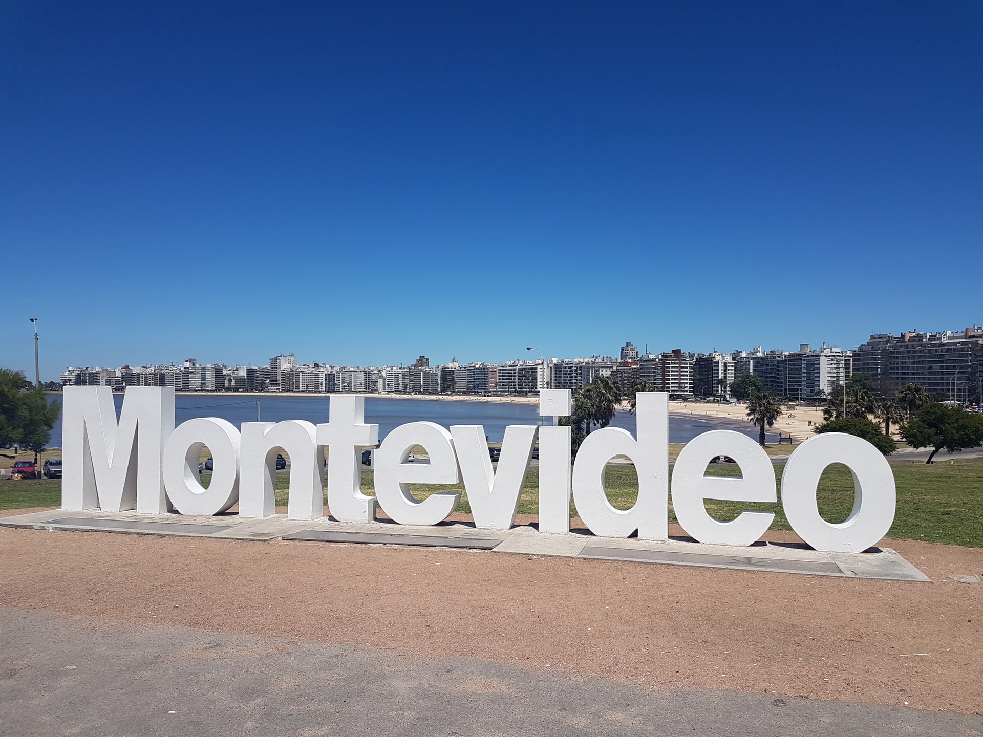
In recent years, the strategy adopted by the Montevideo Municipal Government to use technology with the clear aim of improving the lives of its citizens has become a regime in Latin America and an example worldwide.
Using an inclusive and sustainable approach, the aim is to provide innovative solutions designed to encourage citizen participation (for example, the Montevideo Decide project), promote environmental protection (environmental education) and boost the development of public services (with a focus on digital services).
Data and APIs to improve citizen services
The Department of Sustainable and Smart Development is consolidating an open services portal with the use of APIs with the aim of promoting the development of technology solutions and involving society as a whole.
This interface allows information to be accessed and shared while also building an innovation ecosystem for the development of applications; and it also enables dialogue to be established between the services published on the platform and end users.
Furthermore, the firm commitment to generate and use data as a basis for decision making has led us to take on numerous challenges and to use artificial intelligence techniques with regional recognition. An example of this is the way in which technology is being used on beaches.
Connected and safer beaches thanks to IoT and APIs
Located on the Río de la Plata, Montevideo is characterized by high variability in salinity and storm surges. A 22-km boardwalk runs from the city center to the East offering a wide choice of beaches, while to the West, there are other more rugged, individually-accessed beaches.
In total there are eighteen authorized beaches and more than thirty lifeguard posts. These posts issue data such as warning flags and these are collected by the relevant app. A SIG app embedded in the Municipal Government Beach website displays the platform information.
This app adds the UV index, temperature and weather values. The UV index is obtained from radiometers connected by IoT agents and the weather information through an interconnection with the Uruguayan Institute of Meteorology (INUMET, Uruguay’s official meteorology agent).

Although the app was already in production, it was incorporated this year as a pilot scheme. By means of algorithms using artificial intelligence techniques, images captured in real time by drones are analyzed to determine a limited capacity for each beach. This provided beach users with real-time information about the status of each beach in Montevideo.
Informed citizens, a government that learns
Having this real-time information enables a better distribution of people across beaches, creating a safer and more comfortable experience. The application was well-accepted by the public, particularly during the challenging times of the pandemic, when both residents and visitors were longing to go to the beach.
Lastly, it is worth mentioning that the pilot scheme served as an example of an application in which the use of techniques and machine learning algorithms based on image processing and the availability of services through an open platform could be evaluated, while also providing a service for the community. The Municipal Government of Montevideo is constantly learning.
Images | Alex Teixeira,Andres Canavesi


