


Table of Contents
Author | Jaime Ramos
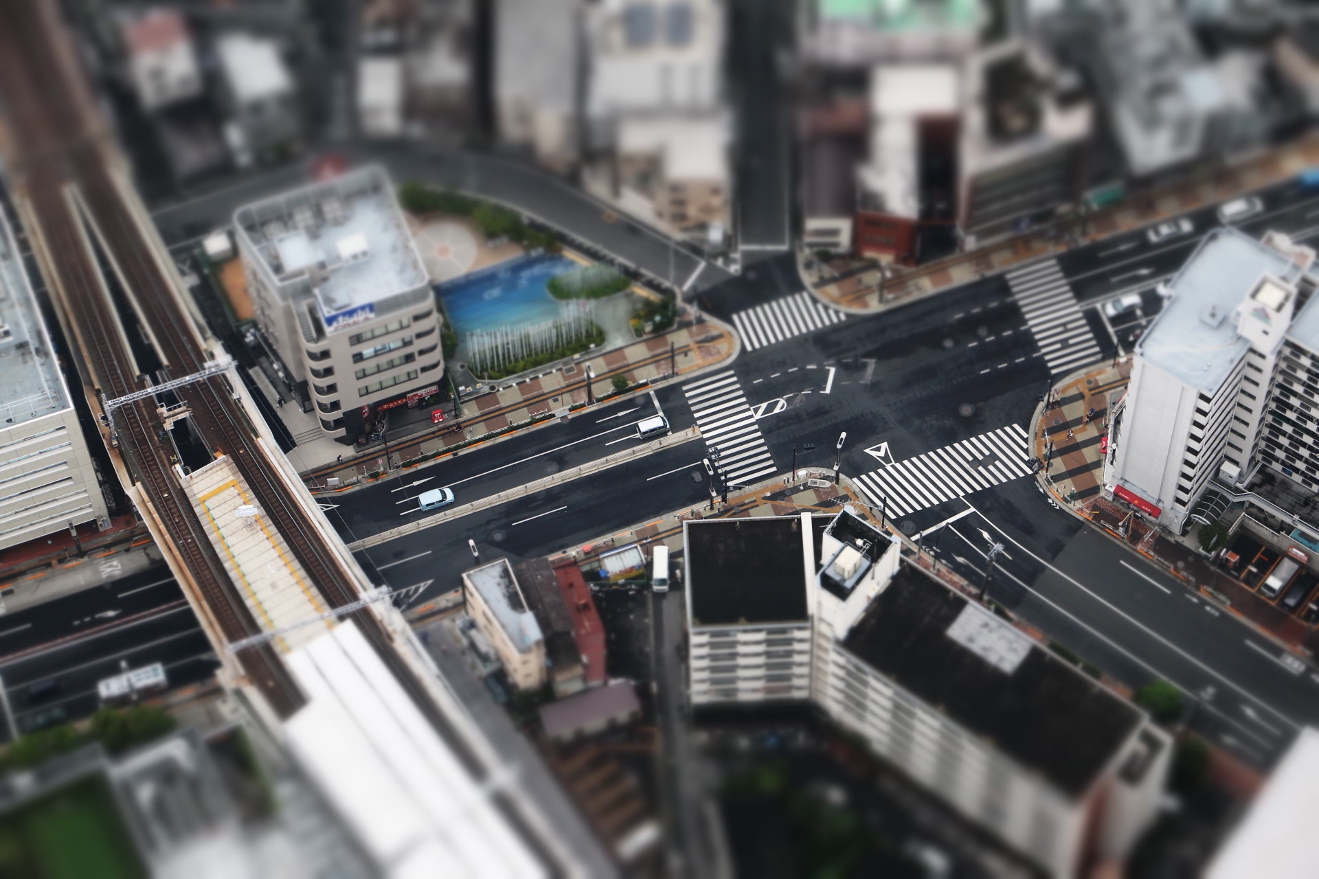
Urban planning is a collective matter. This is why the fully realized smart city ideal offers a tool that goes beyond the advanced use of technology to improve the life of its citizens: the capacity to enable citizens to have a say not just in matters related to public affairs, but the city’s own urban organization.
What is urban planning?

Urban planning is the collaborative effort between technical experts and policymakers to design and regulate the use of land in urban areas and their surroundings, including air and water resources, infrastructure development, and the establishment of transportation and distribution networks.
The earliest reference to urban design can be found in the Epic of Gilgamesh (2500-2000 BCE). However, the modern origins of urban planning emerged at the end of the 19th century as a response to the chaos brought about by industrial cities. During this time, practical considerations such as adequate sanitation, the circulation of goods and people, and the provision of essential services highlighted the necessity for systematic city planning.
Urbanism evolves alongside society, integrating innovative practices and new technologies while addressing critical issues such as economic growth and environmental sustainability.
We could say that no two urban designs are identical, as the availability and configuration of city elements largely depend on local and contextual factors, as well as specific policies.
How can smart cities evolve to incorporate contributions from citizens

Smart cities utilize tools to collect data and measure variables, helping to establish urban priorities, for instance, these tools can identify streets with higher traffic volumes. This technological progress also engages residents through various participation and decision-making initiatives, allowing them to shape the future of their cities.
In their article The citizen in the smart city. How the smart city could transform citizenship, Martijn de Waal and Marloes Dignum argue that the smart citizen perspective has developed in at least two distinct directions.
Firstly, local governments have adopted digital technologies to interact with citizens, reinforce democracy, and organize consultations. These tools are deemed to have revolutionized local governments, making them more receptive, transparent, and cost-effective than ever before.
The second is the development of “participatory diagnosis”, which involves the collection of data by citizens. The authors cite the Brazilian city of Curitiba as an example, highlighting a citizen initiative to collect information about air pollution. Similarly, in the UK city of Bristol, citizens have initiated efforts to collect data on the problems they face with dampness in their homes.
The data collected can be used to organize local communities around specific issues or to demand action from local governments
The future of urban planning
One of the finest examples of this democratic instrument is the possibility of being involved in the urban planning process. A process which, traditionally, has not included the average citizen. Neighborhood associations and related groups have fought in recent years for the voices of the people to be heard.Despite this and the fact that regulations now establish some formulas for engagement (such as social councils in cities), local authorities have the last word in terms of urban design and street furniture. Smart cities aims to overthrow this model. In terms of urban design, the future of urban planning goes beyond simply listening to citizens, to actually place them at the center of all strategies.
Setting an example in participative urban planning
The capital of the state of Utah, Salt Lake City, has around 200,000 inhabitants in its historic center and it seeks to establish a precedent in the area of smart urban planning. In fact, the project has begun by revolutionizing the classic street typologies applied in this area. Until now, there were three types of roads in the United States:
- Arterial.
- Collectors or distributors.
- Local.
This model shared by many major cities, is based on facilitating the flow of traffic in the city. The system is also responsible for the Cartesian layouts that exist in so many major cities across the country. Now, well into the 21st century, the aim is to steal the leading role away from cars.
Salt Lake City’s smart urban planning project

Citizens have a real say in this task. Salt Lake City launched a survey, which defined up to 17 types of roads, based on the different urban functionalities. This not only enables greater engagement, but also opens the door to customized urban planning designs. The new typologies are applied to over 8,400 roads in the center and they are included in a guide with real models made public by the authorities. To create these, five factors regarding public use spaces were taken into account:
- Personal mobility, in terms of pedestrians, bikes and PMVs.
- Mobility of other vehicles.
- The environment (greening), relating to minimum sustainability requirements and green spaces.
- That is, the concept of a street as a social activity and not just as a walking exercise.
- Use of sidewalks.
Citizen contributions

In a subsequent chapter, the citizens of Salt Lake City have finalized the 15 types of streets and, in general, the guide, providing more feedback through the enabled web platform. In order to make it more accessible, it offers a map, which distinguishes the type of streets according to a color code and in which comments can be added to each street. This way, urban planners gain valuable insights about its given or expected usage well before construction machinery starts rolling.After this phase, the authorities will draw up a final draft of the guide, the standards of which will be used by urban planners when the city’s next map is designed.
Four roles of citizen contribution
Centering people in smart cities categorizes citizen intervention in the design and planning of cities into four types:
Residents as a driving force
Through tools such as participatory budgets, crowdsourcing or gamification, groups representing citizens have initiated projects like DECODE. This European initiative has developed technology that allows people to control their personal data and decide how to share it. Pilots were conducted in Amsterdam and Barcelona.
Residents as democratic stakeholders
In this case, online participation platforms, including electronic voting, interactive websites, and citizen applications or platforms, are instrumental in the Citizen Voices for Digital Rights project. Developed in Tirana, this project organized a series of workshops on digital rights in the capital of Albania.
Residents as co-creators
Events such as hackathons, datathons, online platforms and applications, Living Labs, and small-scale pilot projects are some of the citizen participation instruments. For example, Rhizomatica in Mexico develops decentralized telecommunications and energy infrastructure with direct community involvement and participation.
Residents as ICT users and providers
Online platforms and applications with feedback components, citizen science programs, sensors, IoT, and resident-managed data collection have led to projects such as Digital Matatus. This initiative collects data on essential infrastructure through cellphone technology, and freely distributes the information and enhances services for citizens. In Nairobi, a new transit map has been designed which has transformed the way in which residents navigate the city
Towards a more humane and inclusive urban planning
Citizen participation in matters of urban planning can push towards the development of streets and blocks far more accessible, taking into account both large collectives and also minorities, empowering stakeholders at all levels and reducing the dependence on simple statistics that may distort the full picture. These measures can be complemented with innovative projects such as Block by block, which allows citizens to create a basic digital twin using the popular videogame Minecraft.The basic needs of each city can drastically differ due to their soecieties, economies and preexisting circumstances. All in all, the most common reactions of the Salt Lake City inhabitants tend to demand more public space for people and less for vehicles.
Images | Yhz1221 (CC BY-SA 3.0), Matt Milton, Padraic Ryan (CC BY-SA 3.0), Street & Intersection Typologies Design Guide, Jezael Melgoza


