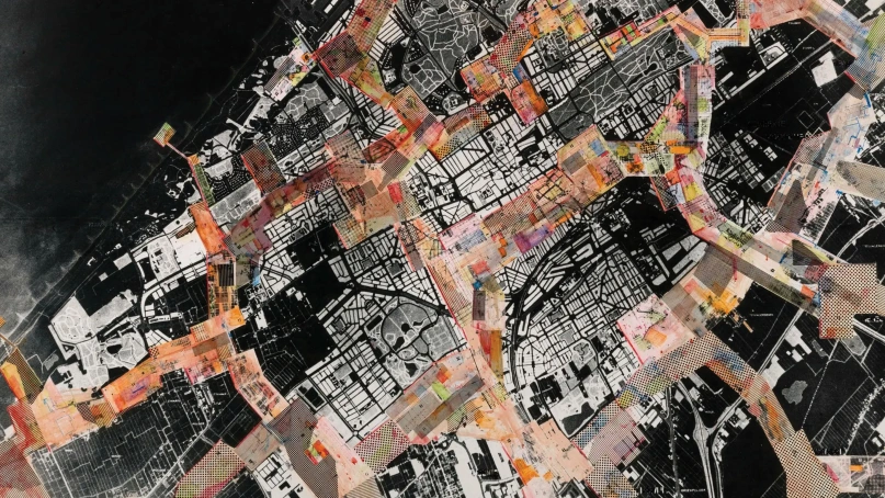
Geographic Information System (GIS), which have been otherwise used in isolation by smart city corporations in India, have proven to be the backbone for cities in their chase of the Covid-19 pandemic. These systems have swiftly metamorphised into the much-needed platforms that enable cities to generate actionable information to respond to the unprecedented emergency situations caused by the novel coronavirus.This was seen in cities across India which used heat mapping and predictive analytics of this data using GIS as guides in delineating buffer zones.
+ info: Observer Research Foundation


