


Author | Raquel C. Pico
The pressure of population growth on cities will increase over the coming decades. People will concentrate in large urban areas, forcing urban planning to be redefined and make the most of new technologies. This will be especially noticeable in Africa, where some estimates suggest that not only will the population double between 2020 and 2050, but its cities will also gain 950 million inhabitants. In this context, tools like artificial intelligence, and more precisely AI mapping, are emerging as potentially essential to meet this challenge. This is already happening with some urban mapping projects and with the proposal for Zotus City, Botswana.
Mapping Africa’s buildings
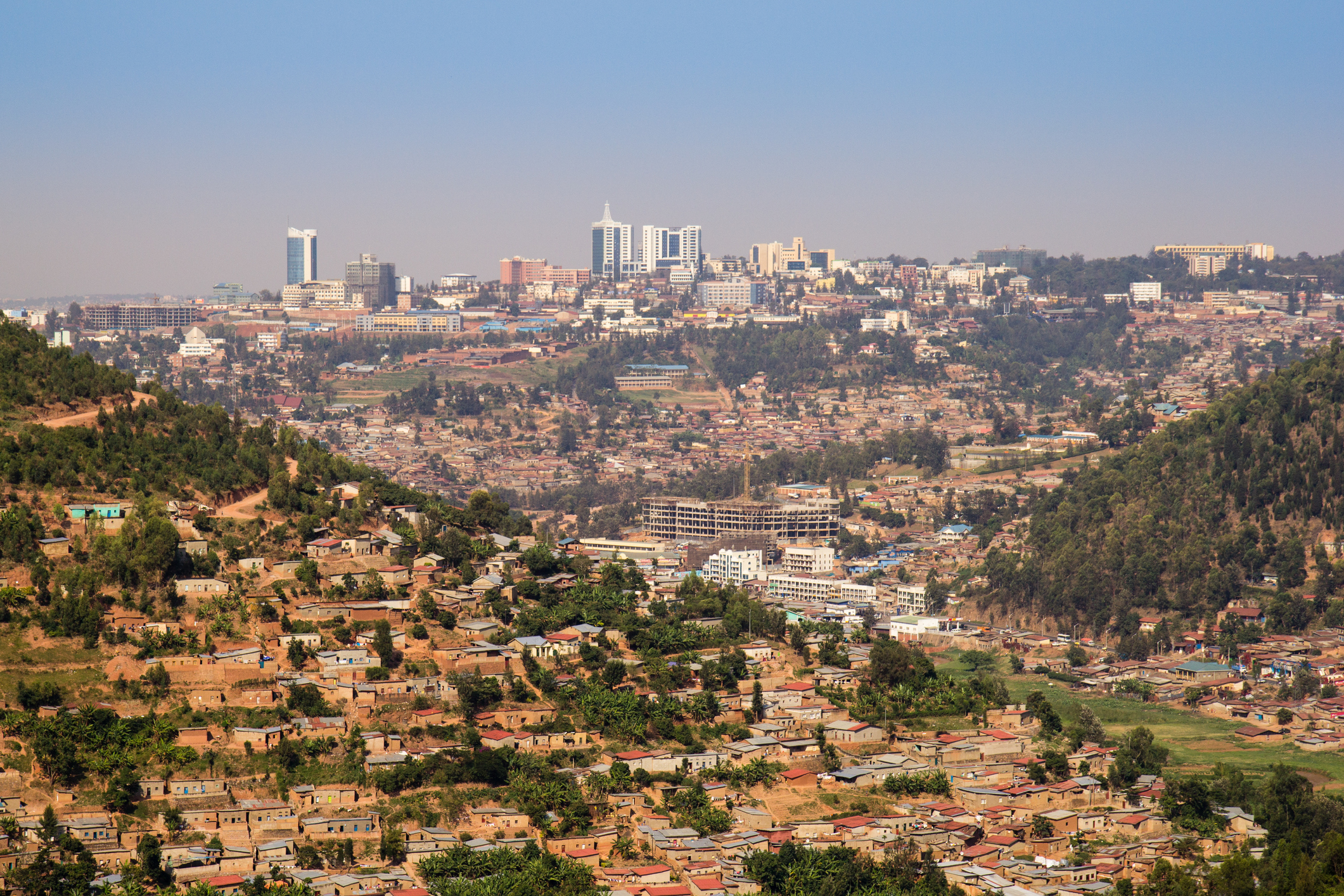
The rise in urban population is already having a direct impact on how people live. Migration to cities has added pressure on the housing market and led to the emergence of informal or precarious buildings. For the cities and countries experiencing this, the boom not only falls outside their urban planning regulations but also makes it exceedingly difficult to know where all the buildings are, what they are like, or how many people live in them. This creates new problems, not just for statistical reasons. It is hard to understand the true population density of an area, which affects African urban planning, but also makes it challenging to make the right decisions or respond effectively in a crisis or emergency.
This is where artificial intelligence (AI) comes into play, because it reaches places the human eye cannot. Thanks to AI mapping, the urban landscape can be accurately understood. In 2021, Google launched its Open Buildings initiative, led by its AI Research Center team in Accra, Ghana. Using artificial intelligence, a real map can be created showing how many buildings exist and what they are like. The footprint of each building is measured and placed geographically on the map. Put simply, it is similar to the maps a city planning or statistics office would produce, only the data comes from satellites and is processed by AI.
About 500 million buildings across the continent have already been mapped this way. The findings showed that most of these structures have a footprint of less than 20 square meters. Areas in conflict or locations where this type of information could be considered “sensitive” are excluded. In total, data from 50 countries has been collected, and it is available in an open database.
The positive impact of gaining a clearer view of the city
When Google launched the initiative, it estimated that AI mapping would help better track population distribution, manage humanitarian responses or vaccination campaigns, and improve statistics. It could even provide postal addresses to people living in informal settlements who previously had none.
Years later, practical experience has confirmed that AI mapping delivers powerful results. For example, it has improved healthcare in Rwanda by allowing rural clinics to be relocated so that 92% of the population is within a half-hour of one, and it has supported child vaccination campaigns in northern Nigeria. In Kenya, AI mapping data helped predict which areas would be affected by flooding and improved urban planning. As Aisha Walcott-Bryant, head of Google Research Africa, told the local press, “Mothers reach clinics sooner, children get vaccines, and city planners can act before disaster strikes.”
Africa and the development of artificial intelligence

The potential applications of AI go even further. Information can serve as a lever to address key present-day challenges, such as climate change or economic development. Google itself has just invested $2.25 million in a project to modernize African public data systems, making them “accessible, reliable, and ready for the AI era.”
Some African countries have launched specific projects with AI at the forefront. Rwanda has integrated it into its Vision 2050, aiming to become one of the continent’s key centers of innovation and development. Botswana has placed it at the heart of its city of the future, Zotus City.
Zotus City, Botswana’s AI-powered city
As reported by the African press, the project is being promoted as the Dubai of Africa. Zotus City will cover 85 square kilometers and will be a special economic zone. Behind the idea is a private company, Zotus City Development Group, which has partnered with the government of Botswana. They plan to build an AI-based smart city in the Kalahari Desert.
AI will manage the city’s systems (traffic, energy, etc.), improving efficiency and anticipating potential service failures. Water filtration systems, bio-architecture, and 100% renewable energy from a solar plant will be used. One reason for choosing the location is the abundant sunlight, which ensures a continuous renewable energy supply. Its central position on the continent, with an average temperature of 25°C and reliable water security, was also a key factor. In fact, the project also positions the city as a fast rail transport hub and a potential air travel hub in Africa, with an airport operated with AI support.
Zotus City is currently in its founding and planning phase, though its developers hope to move into the development stage later this year. They anticipate accommodating half a million residents, with room for growth… and with the assurance that they won’t need AI tools like Google’s to locate unregistered buildings, since the entire urban development will be planned from scratch.
Photos | pixdeluxe/iStock, Jacob Wackerhausen/iStock, Wysiati/iStock


